UCGIS Elections, 2022
The Nominating Committee and the Board of Directors are honored to present these individuals to the UCGIS delegates for consideration in the 2022 elections. Online voting by delegates will begin on Monday May 30, 2022, and will conclude on Tuesday June 7, 2022. Selected individuals will begin their positions on July 1, 2022.
President-Elect (one to be selected)
 Jeffrey Hamerlinck, University of Wyoming Jeffrey Hamerlinck, University of Wyoming
Bio: I am the Director and Senior Research Scientist with the Wyoming Geographic Information Science Center ( www.uwyo.edu/wygisc ) at the University of Wyoming, where I am also a Faculty Fellow with the College of Business Daniels Fund Ethics Initiative and Special Assistant for Research Policy in the Office of Research and Economic Development. My PhD is in Geography from the University of Colorado-Boulder and I maintain credentials as both GIS Professional and member of the American Institute of Certified Planners. Over the last 25 years, I have served in a range of UCGIS capacities, from Council member to Board Secretary and Chair of the External Relations Committee. I’ve also served as the UCGIS representative on the GIS Certification Institute Board and the Council of Geospatial Organizations, and I am a former Knowledge Area Editor (“Domain Applications”) for the GIS&T Body of Knowledge. Through my state government engagement work, I participate in the National States Geographic Information Council, have consulted on interstate geospatial collaboration with the Western Governors’ Association, and am currently serving on the Wyoming Governor’s GIS Advisory Board.
Statement: I am honored to be nominated for President-Elect and enthusiastic about the potential opportunity to serve UCGIS in this important capacity. I’ve always been appreciative of how UCGIS has positively influenced my own career and amplified my home institution’s engagement with the higher education geographic information science community. The recent “UCGIS at 25” editorial in Transactions in GIS (Mennis et al 2021) provides opportunity to reflect not only on past accomplishments but also on how the organization has adapted to the ever-evolving geospatial landscape across academia, government and the commercial sector. UCGIS has demonstrated resilience emerging from a lingering global pandemic - in the research contributions made by its members, in the new ways we’ve innovated our teaching, and in how we’ve fostered, expanded, and improved access across our professional network. Looking ahead, I agree that ongoing and future challenges should be met with an expanded vision for the Consortium, broadening both our member base and our engagement with our professional affinity organizations such as the Mapping Science Committee and the National Geospatial Advisory Committee, and building on our recent innovative participation in initiatives like the NSF Convergence Accelerator Program with new involvement in groups such as the United Nations initiative on Global Geospatial Information Management.
 Harvey J. Miller, The Ohio State University Harvey J. Miller, The Ohio State University
Bio: Harvey J. Miller is the Bob and Mary Reusche Chair in Geographic Information Science, Professor of Geography, Courtesy Professor of City and Regional Planning, and Director of the Center for Urban and Regional Analysis at The Ohio State University. He is also Chair of the Mapping Science Committee and a member of the Board on Earth Sciences and Resources of the US National Academies of Sciences, Engineering and Medicine. His research and teaching interests are at the intersection between geographic information science and sustainable mobility. His awards and honors include the Edward L. Ullman Award from the American Association of Geographers and the Research Award from the University Consortium for Geographic Information Science. Harvey is an elected Fellow of the American Association of Geographers and the American Association for the Advancement of Science. He previously served the UCGIS as a member of the board in 2000-2003 and again in 2015-2018.
Statement: It is the best of times for Geographic Information Science, and yet also perilous times. Since the inception of the UCGIS in 1995, GIScience has become well-established in science, policy and business. However, we are also victims of our success: under the rubric of “geospatial,” GIScience has morphed and spread across many scientific and humanistic endeavors. We are at risk of losing our identify as the core of geographic information science. Universities are also going through unprecedented challenges due to shocks such as COVID but also profound demographic and political shifts. These reasons are why the UCGIS is important as a home for GIScience, and as a facilitator for establishing strong programs and centers at universities. The UCGIS has done a tremendous job to support GIScience research, education and communities of practice. As President-elect and beyond, I would build on this success. But I would also emphasize the role of UCGIS in establishing GIScience infrastructure and support at universities to build interdisciplinary communities that leverage GIScience to conduct convergent research and education. Our work in building supportive GIScience infrastructure at universities is far from done.
Members, Board of Directors (two to be selected):
 Peter Kedron, Arizona State University Peter Kedron, Arizona State University
Bio: I am an Associate Professor in the School of Geographical Sciences and Urban Planning at Arizona State University and a core faculty in the Spatial Analysis Research Center. My current research is focused on developing research designs and systems of evidence accumulation that address the challenge of evaluating, transferring, and scaling policies across locations. This NSF-funded research includes the development and evaluation of a project-based pedagogy that uses systematic replications to identify the generalizability of research findings across space. In collaboration with students and colleagues, I am evaluating the reliability of existing geographic knowledge by reproducing and replicating published work that is being used in policy making and policy evaluation. I have received multiple awards for my teaching, and I maintain an active mentorship program while also serving on numerous university and professional committees.
Statement: I was both surprised and very honored to be nominated to serve as a member of the University Consortium for Geographic Information Science (UCGIS) Board of Directors. I was also very excited to accept the nomination because the mission of UCGIS closely aligns with my own research interest in understanding and improving the practice of geography. More specifically, I work to find better ways to design geographic research, accumulate geographic evidence and put that evidence to use. During my career, I have served as the President of the Canadian Association of Geographers - Ontario Division and the Chair of the AAG Economic Geography Specialty Group. I have taught in four counties, developing courses that range from freshman-level economics at a local community college to graduate-level research methods course at an R1 research university. I believe the perspective these experiences provide will strengthen my contributions to the mission of UCGIS. I am particularly excited to strengthen collaborations between GIScience researchers and students and scholars in other science disciplines around pressing policy issues. I believe GIScientists have a greater role to play in the policy creation and policy evaluation process if we as a society are to tackle the grand challenges of our time. I look forward to the opportunity to work closely with the incoming UCGIS President, and members of the board, students, and colleagues to promote and support the field of Geographic Information Science, especially the needs of both researchers and practitioners.
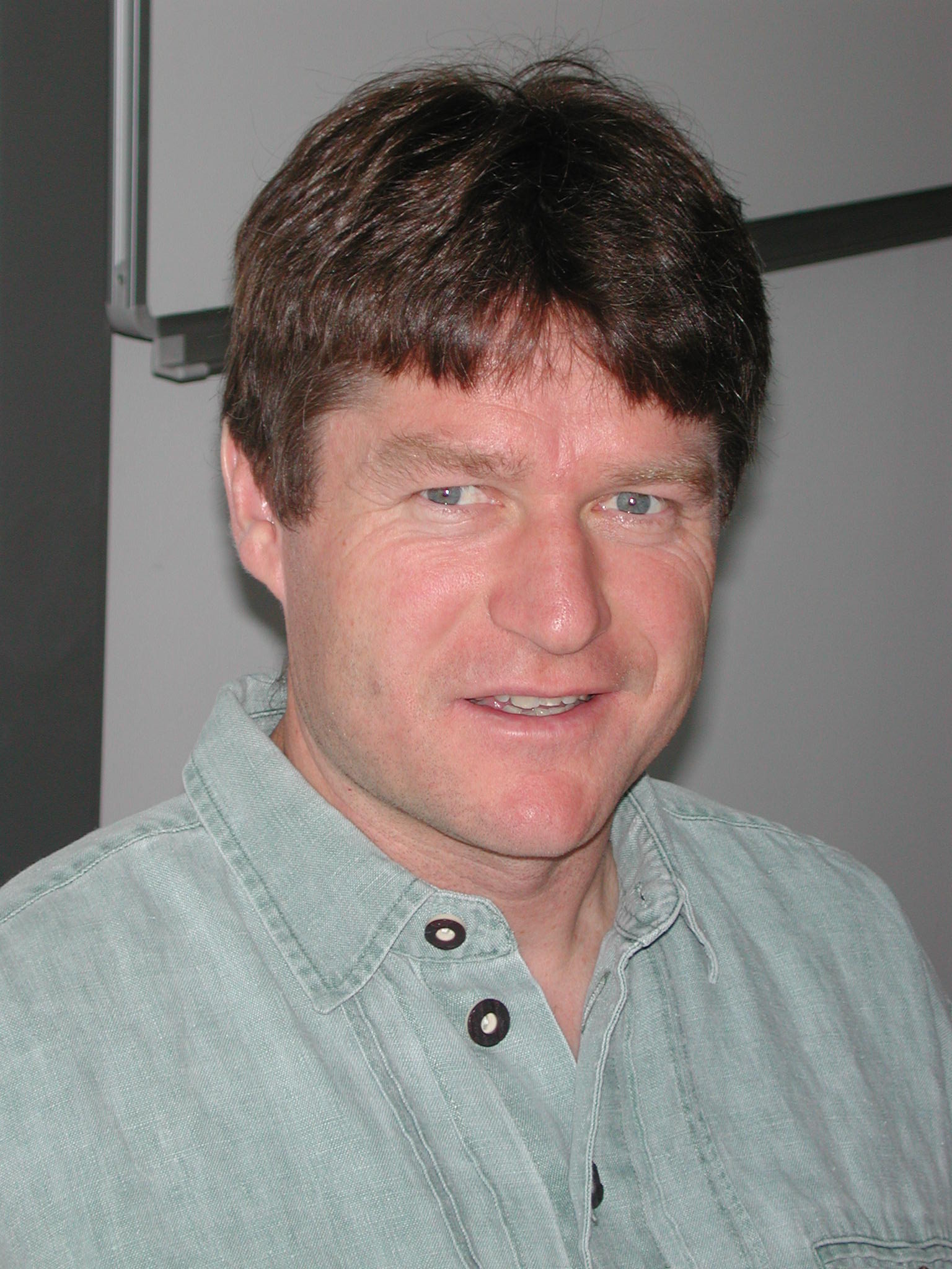 Michael Leitner, Louisiana State University Michael Leitner, Louisiana State University
Bio: Michael Leitner is the Fred B. Kniffen Professor of Geography in the Department of Geography and Anthropology at Louisiana State University. He. received a master degree at the Department of Geography and Regional Research, University of Vienna, Austria and a second master and a doctoral degree in Geographic Information Science (GISc) at the Department of Geography, State University of New York at Buffalo, US. He is the recipient of the 2007 Meredith F. Burrill Award from the Association of American Geographers, was appointed editor of Cartography and Geographic Information Science from 2008-14, and recipient of a Fulbright US Scholar Program Grant to the Jagiellonian University in Krakow, Poland from 2017-18. His main research interests are in Geographic Information Science and its application to spatial crime analysis, medical geography, cartography, and geospatial privacy. He has published five books, 10 co-edited journal volumes, and 70+ refereed articles and book chapters. He has successfully received more than US$ 6 million in grant money in total to date.
Statement: I would be happy and am honored to serve the UCGIS community as a member of the Board of Directors. Educated as a (human) geographer and Geographic Information Scientist, my research and teaching interests have been inherently inter-/multidisciplinary and internationally. I have collaborated with researchers from the Social Sciences (Anthropology, Criminology, Sociology, and Psychology), the Medical-, Computer-, and Environmental Sciences, Statistics, Biology, and Engineering. I have taught classes and supervised graduate students from different cultural and ethnical backgrounds at different universities in the US and Europe (U. of Vienna, Salzburg, Klagenfurt, Graz, Carinthia U. of Applied Sciences (all Austria), U. of Tuebingen (Germany); and Jagiellonian U. and AGH U. of Science and Technology (Polen). For these reasons, I believe that I can contribute to the UCGIS with my expertise in inter-/multidisciplinary and international research. I am especially interested to attract universities outside of the US to join the UCGIS. I am also interested to attract new academic disciplines, departments, and universities to the UCGIS that are interested to expand their spatial turn in their research and teaching.
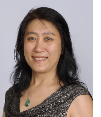 Yongmei Lu, Texas State University Yongmei Lu, Texas State University
Bio: Yongmei Lu is Professor and Chair of the Department of Geography and Environmental Studies at Texas State University. She obtained her doctoral degree in 2001 from the University at Buffalo. Her research and teaching interests fall under the broad umbrella of GIScience and the application of spatial analysis and modeling to examining how population well-being is shaped by human-environment interaction. Specific topic areas include environmental exposure and health effects, food access, urban development and health, and crime and criminal behavior. Yongmei has published extensively, including numerous journal articles, two edited book volumes, and special journal issues. Her research has been funded by federal, state and local agencies. Yongmei is the current chair of the Research Committee of UCGIS. She served as the President of the International Association of Chinese Professionals in GIScience (CPGIS) and chaired its BOD. Yongmei is active in promoting international collaboration and exchange. She sits on the International Board of the Graduate School for Creative Approaches to Public Space (GS-CAPS), Rennes 2 University, France.
Statement: UCGIS has been part of my GIS professional life since I was in the doctoral program at Buffalo. The annual symposium was one of the important conferences that I looked forward to. The UCGIS White Papers published in the late 1990s and early 2000s helped my own learning as a student and served as teaching materials for my seminar classes as a professor. My early GIS career was supported by UCGIS in various ways, including Student Paper Award and ESRI UCGIS Young Scholar Award. The professional network that I built up through UCGIS is among the most important ones for my career. I have been representing my university as a UCGIS delegate for about two decades. I sent students to attend UCGIS activities, believing that the way UCGIS helped me will be reflected through my students’ professional lives. So, why would l like to serve UCGIS? Because I believe in UCGIS, especially its role in promoting GIScience and supporting the career of GIScientists. Why UCGIS Board of Directors? Through my current service to UCGIS as the Chair of Research Committee, I believe that I understand the opportunities and challenges that UCGIS faces. With my past and current leadership roles, I have valuable skills and experiences to help grow UCGIS into a more sustainable organization.
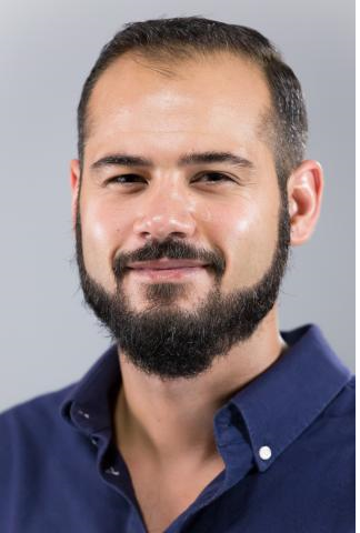 Taylor M. Oshan, University of Maryland Taylor M. Oshan, University of Maryland
Bio: Taylor is an Assistant Professor in the Department of Geographical Sciences and leads the Spatial Multiscale Analytical Science Hub (SMASH) at the University of Maryland, where he manages several projects focused on developing and applying multiscale spatial analytical techniques and geospatial technologies to support spatial data analysis. His research interests are centered on analyzing spatial and temporal processes in the context of urban planning, health, and transportation, as well as building open source tools. As a member of the physically disabled community, he is an advocate for improving and disseminating accessible technologies. In addition to serving as a faculty member in the Department of Geographical Sciences at the University of Maryland, he is also a member of the Center for Geospatial Information Science (CGIS) and the International Center for Innovation in Geospatial Analysis and Earth Observation (GeoInnovation Center) and maintains affiliations with the Social Data Science Center (SoDa), the Maryland Transportation Institute (MTI), and the Maryland Population Research Center (MPRC).
Statement: I would be excited to contribute to UCGIS and serve as a board member because I believe in the organization’s mission to create and support communities of practice for GIScience research and education. As a researcher, I have always been energized by the interdisciplinary nature of geography and GIScience. Serving on the board would provide the opportunity to collaborate with a diverse community and help disseminate the advantages of a geospatial perspective to a broad community. As an educator, I have experienced the complexity of simultaneously teaching geospatial concepts and geospatial technologies. While it can be a challenge to combine critical thinking and practical skills, it can also be very rewarding and I enjoy witnessing how successfully doing so can prepare students, and the community at large, to grapple with society’s most pressing issues. The UCGIS provides leadership in both research and education, which I have personally experienced and benefitted from, and I would therefore be pleased to assist towards these continued leadership efforts. In addition to research and formal classroom teaching, I also enjoy organizing and participating in workshops, seminars, and social activities and I would look forward to coordinating with, and on behalf of, the UCGIS community.
|

 Jeffrey Hamerlinck, University of Wyoming
 Harvey J. Miller, The Ohio State University
 Peter Kedron, Arizona State University
 Michael Leitner, Louisiana State University
 Yongmei Lu, Texas State University
 Taylor M. Oshan, University of Maryland